Welcome to Niagara Falls, Ontario Canada
![Niagara Falls flowing]()
Top Stories
![Council Chambers]()
April 30, 2024 Council Meeting
Niagara Falls City Council Meeting begins at 4 PM.Read more![Photo of dogs lined up against a wall.]()
Paw'p Up Shop: Pet + Vendor Market, Saturday, April 27
Join us for our first annual Paw’p-Up Shop: Pet + Vendor Market at the new Niagara Falls Exchange. ...Read more![Our Niagara Falls Plan Let's Talk Page]()
Our Niagara Falls Plan
We're creating a new Official Plan – a new long-term land use vision that will guide us through ...Read more![Mayor Jim Diodati wearing the Solar Eclipse 2024 t-shirt.]()
I Got Mooned in Niagara Falls T-Shirts Now Available to Order!
You, too, can own this limited-edition shirt! Pre-order by Friday, April 26.Read more![Aerial photo of Firemen's Park. Mother Earth Day bee icon.]()
Mother Earth Day: Saturday, May 11
Mother Earth Day returns to Firemen's Park on Saturday, May 11, from 10 am until 3 pm.Read more![Photo of a tulip garden at a Niagara Falls Cemetery.]()
Cemetery Services Spring Clean-Up Day: April 27, 2024
Cemetery Services staff invite all cemetery users, visitors, and family members to our Annual ...Read more![Photo of hopscotch, person playing baseball, and person playing pickleball]()
Let's Talk WL Houck Park Improvements
We want to hear from you! The City of Niagara Falls, in collaboration with the Canada Summer Games ...Read more![Sports Wall of Fame 2021/2022 Induction Ceremony, Sunday, January 29, 2023]()
City of Niagara Falls Sports Wall of Fame 2024 Nomination Deadline Approaching
Nominate an Athlete, Team, Builder or Sponsor by Friday, May 3, 2024, to be considered for the ...Read more![Photo of the Niagara Falls Exchange]()
The Niagara Falls Exchange
Visit the newly opened Niagara Falls Exchange website to learn more about the facility, offerings, ...Read more![pothole]()
Report a Pothole Online
Report potholes in 3 short steps with our online form. For regional roads, go to niagararegion.ca ...Read more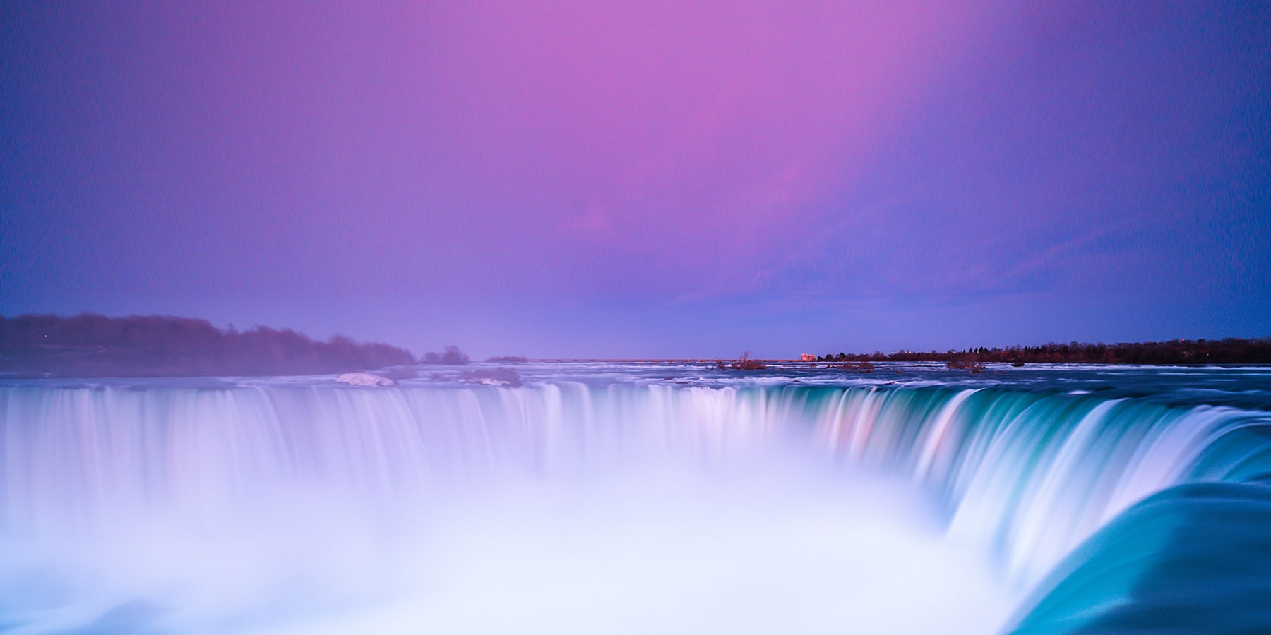
 Careers & Employment
 City Hall Departments
 Parking
 MyCity Dashboard
 Bids & Tenders
 Contact the City
 Public Notices
 Transit Services
 Visitors & Tourism


